Overview
Due to its proximity to the Denver metro area, Long Peak is an extremely popular choice for a day hike with the added bragging rights of summiting a relatively difficult peak. Although I would personally knock the 14ers.com risk metrics down a notch or two, make no mistake, this climb is not for the faint of heart. Even when in excellent cardiovascular condition combined with perfect weather, expect the round trip to take 10-12 hours, with the majority of time spent above timberline.
Longs Peak is considered “Colorado’s Deadliest Mountain”, not because it is the hardest peak per se, but because hiking parties underestimate the true commitment it takes to make a successful summit and return. A healthy dose of humility and conservative decision-making is a must for this peak, especially once arriving at the Keyhole. Once passed, the terrain becomes inhospitable to humans and no alternative escape routes exist should storms blow in. Scores of unfortunate hikers have perished on this journey, with an estimated 70% resulting from a fall.
I would strongly discourage inexperienced hikers from tackling this challenging peak as one of their first five fourteeners.
Trip Report
AUGUST 6, 2010 | 2:30 AM
The clock radio alarm in our spartan accommodations at the Wind River Ranch broke me out of a restless sleep. My trusty climbing partner Nate Reed grumbled and we packed up and rolled out to the trailhead, a short 10-minute drive. Donning our layered gear, and loaded with sufficient food and water for the 12-hour hike, we departed the trailhead at about 3:30 AM.
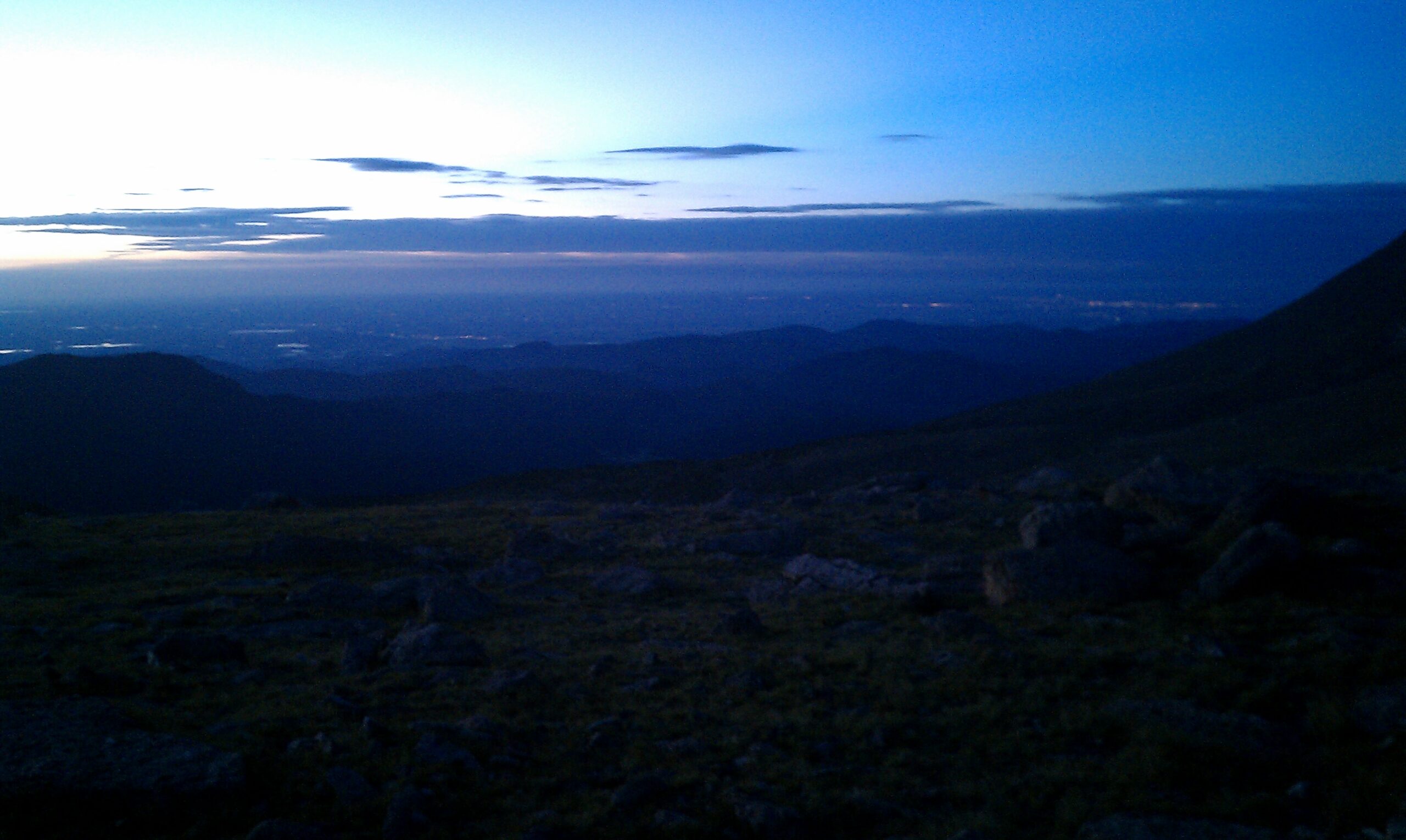
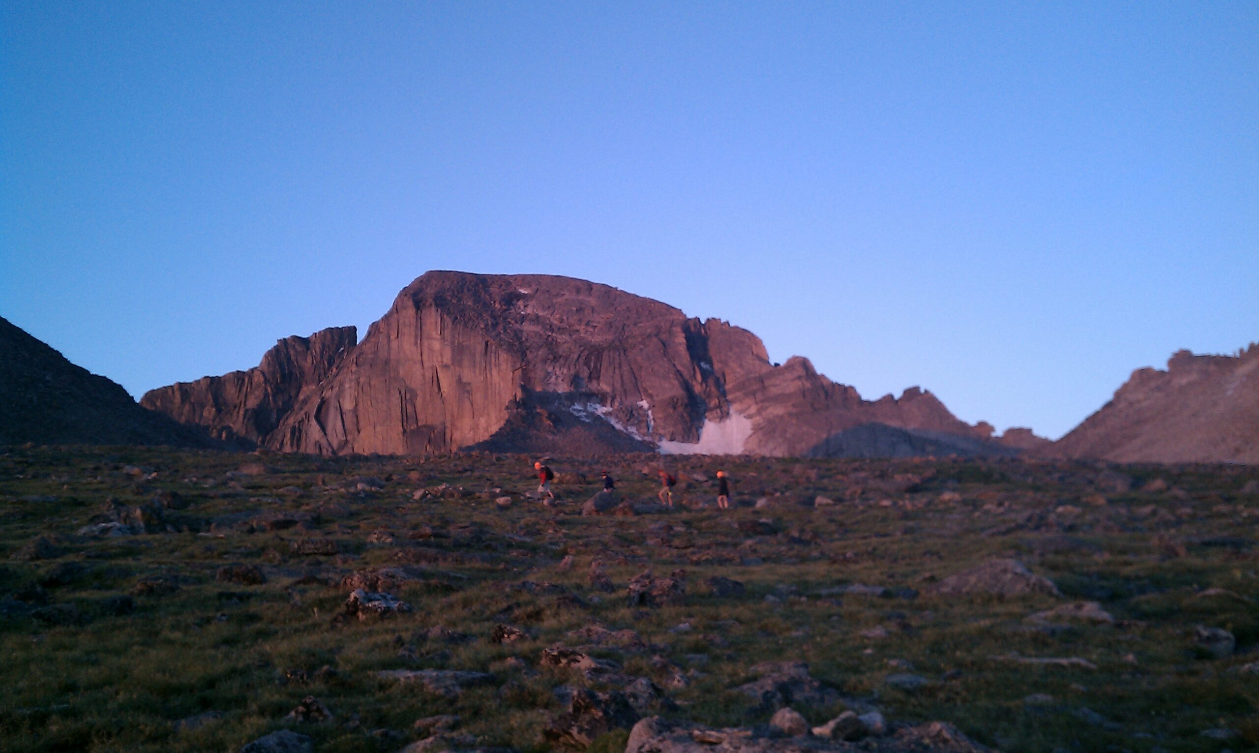
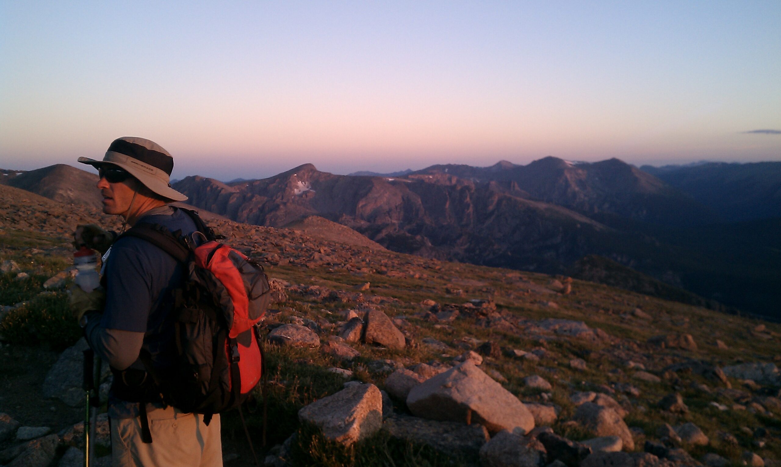
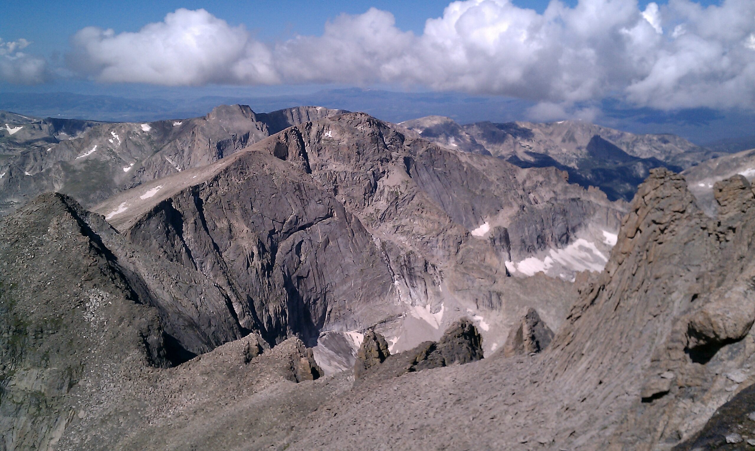
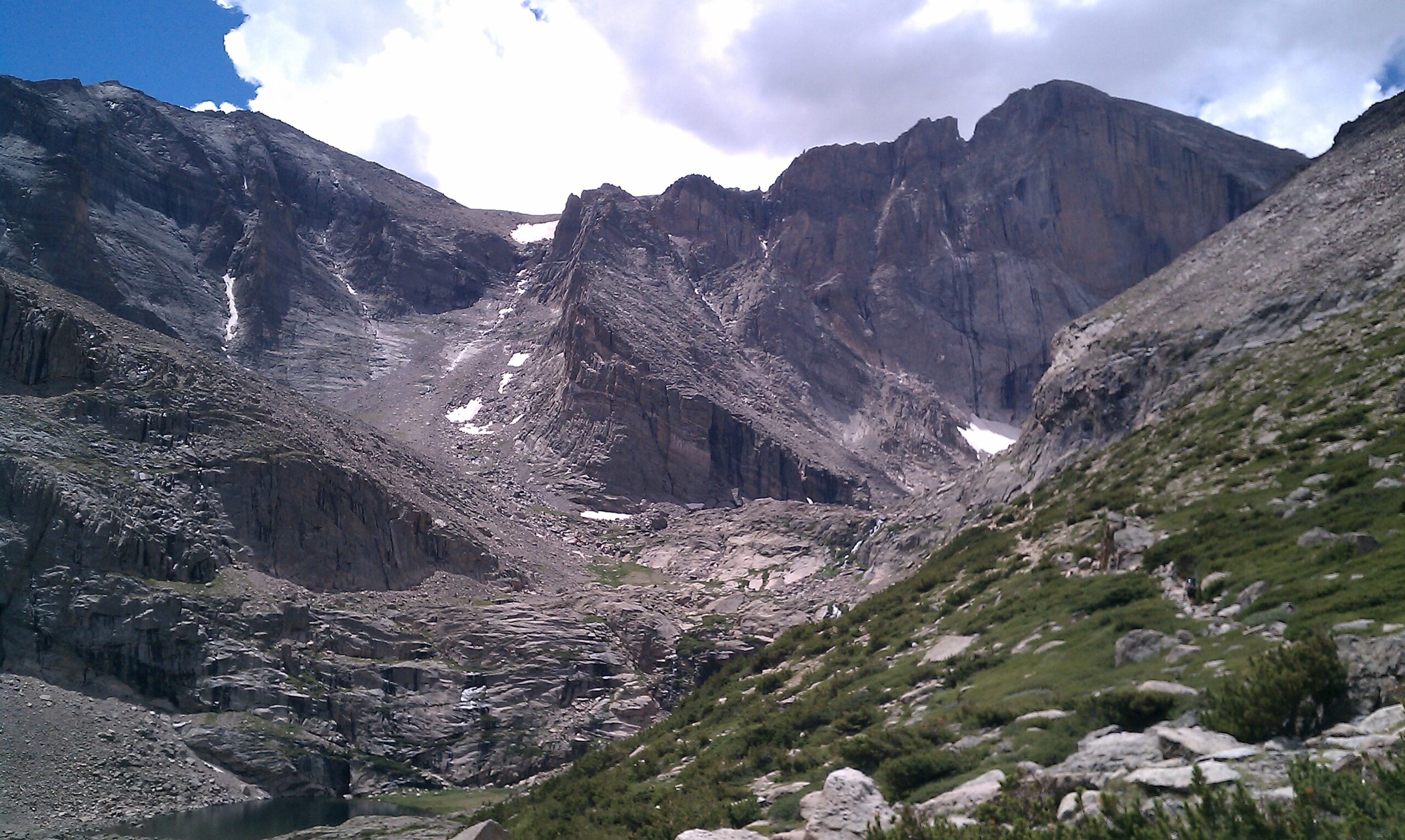
The pitch-black walk through the Goblin Forrest was eerily silent, our headlamps casting oddly angled shadows on the canopy before us. After about two hours of this, we emerged above treeline to see the first suggestions of sunrise on the eastern slope of Mount Lady Washington towering above us. Another 30 minutes of progress revealed our first look at the massive Diamond Face of Longs.

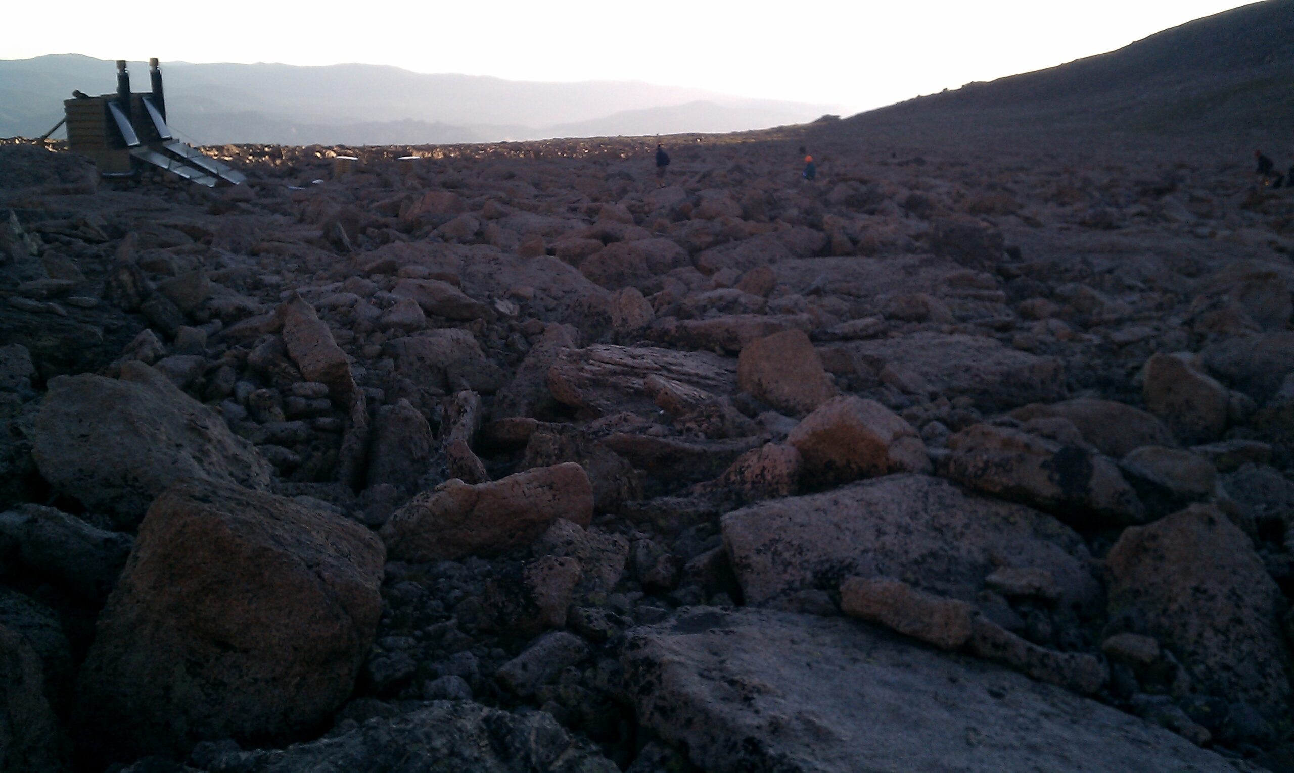
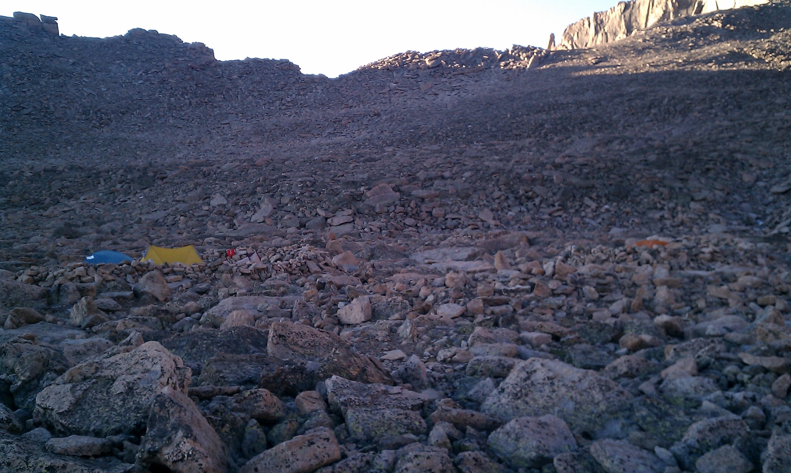
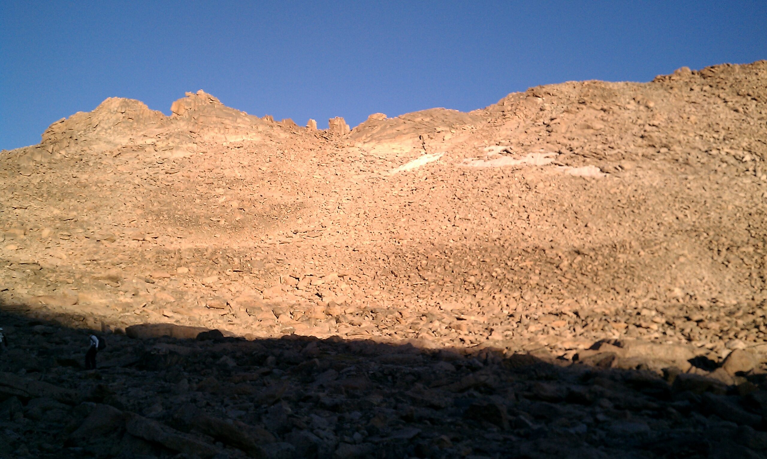
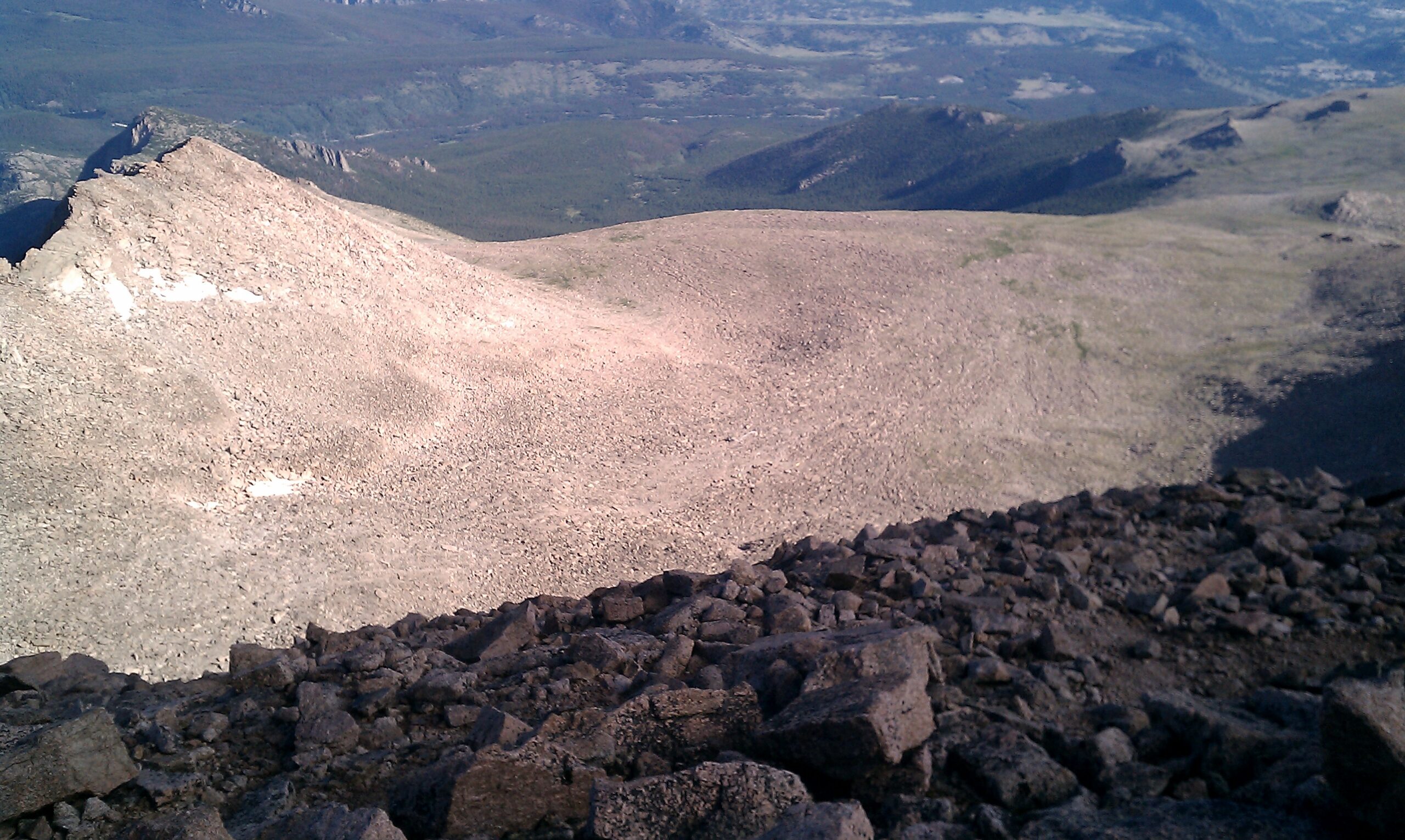
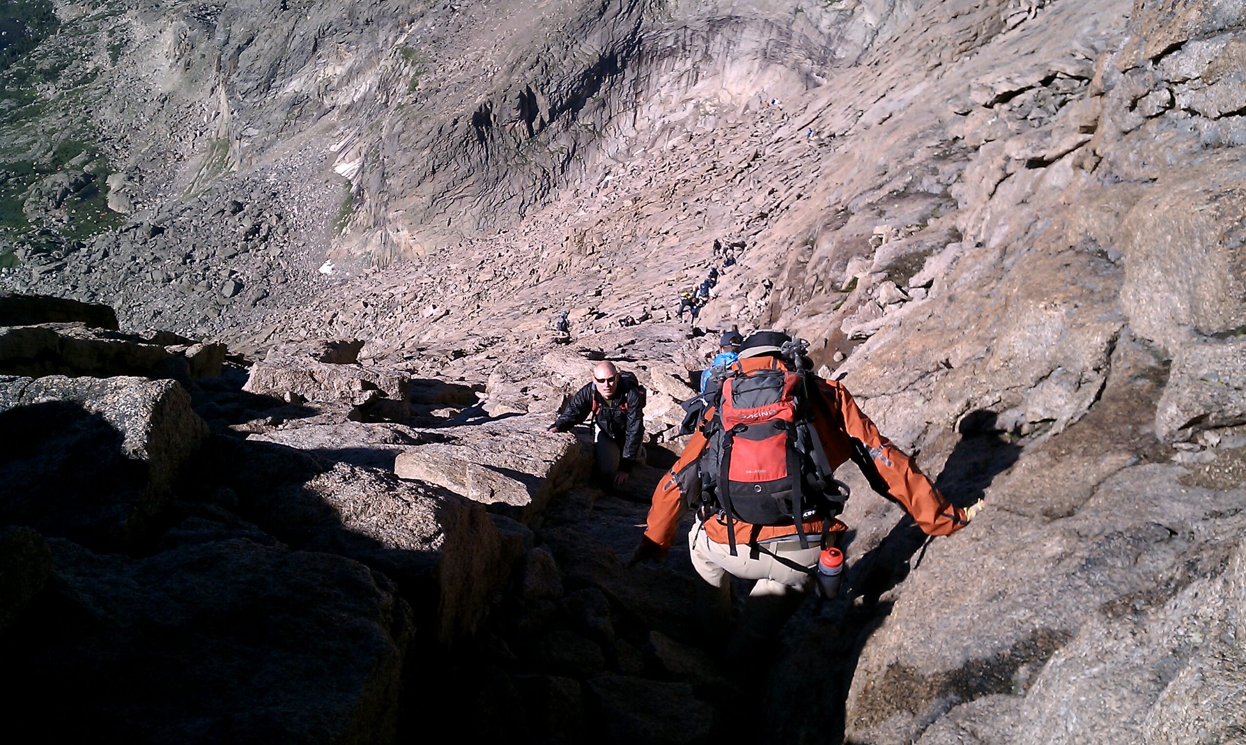
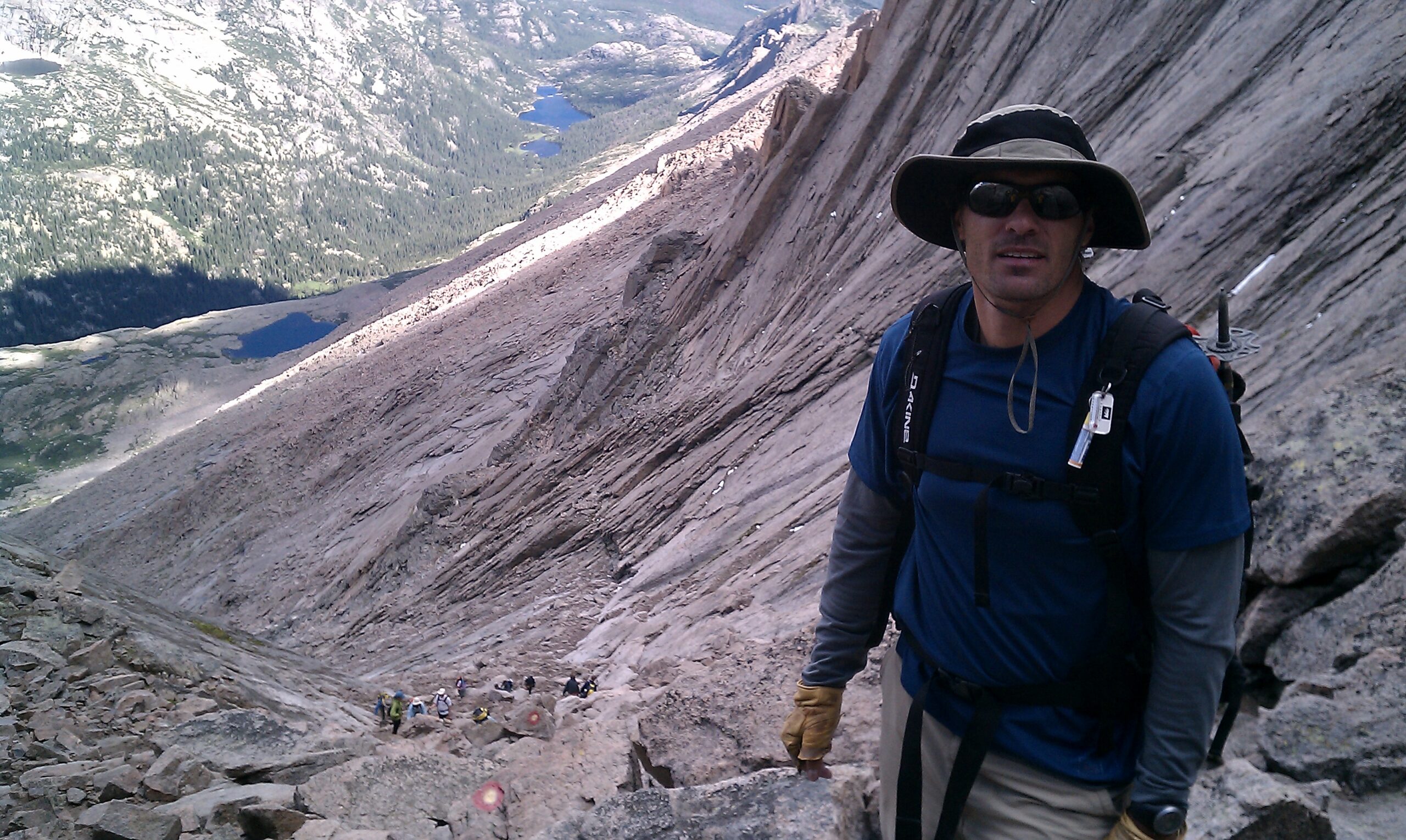
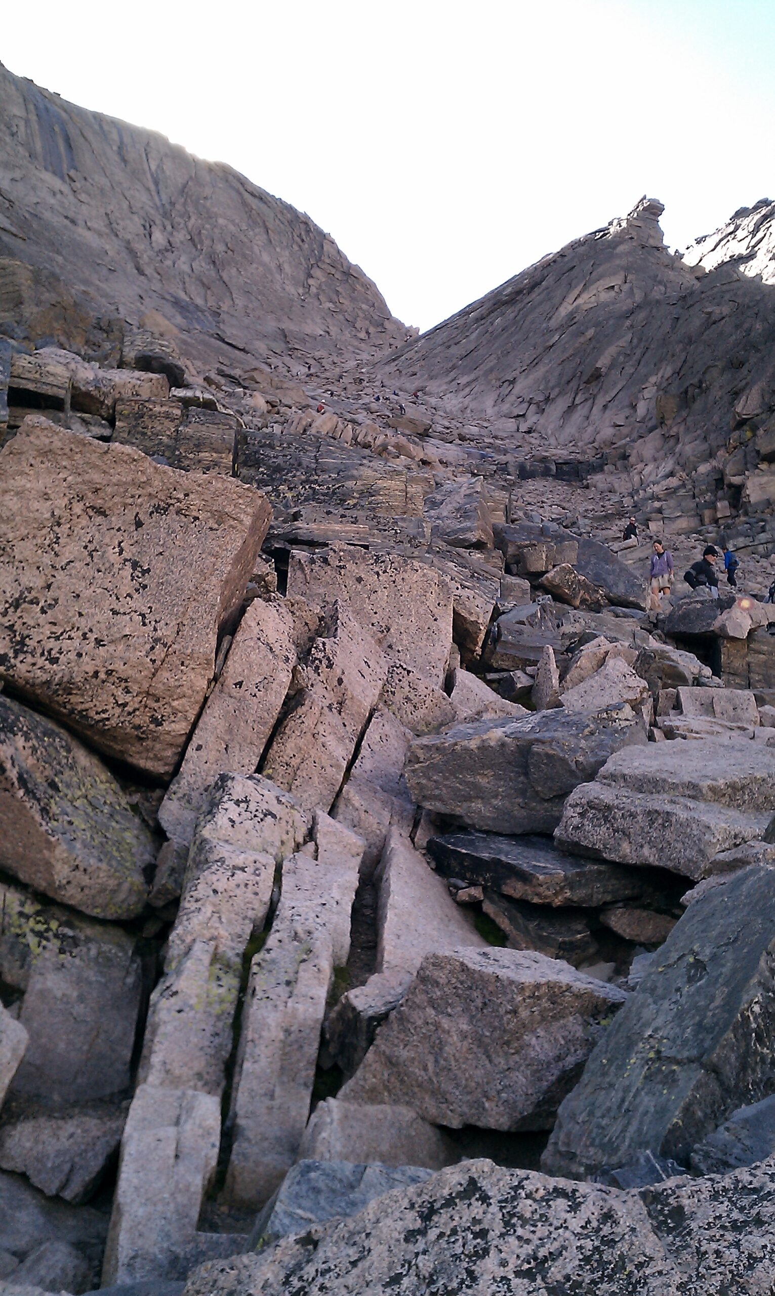
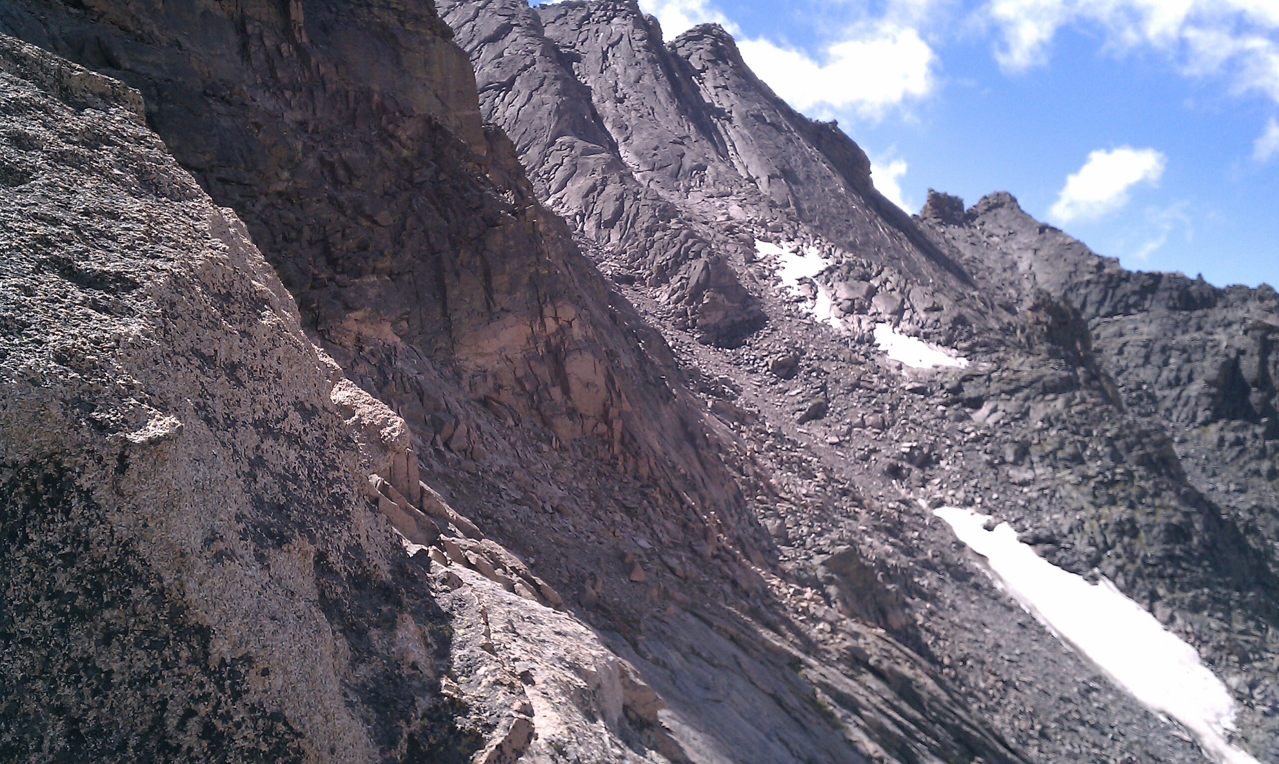
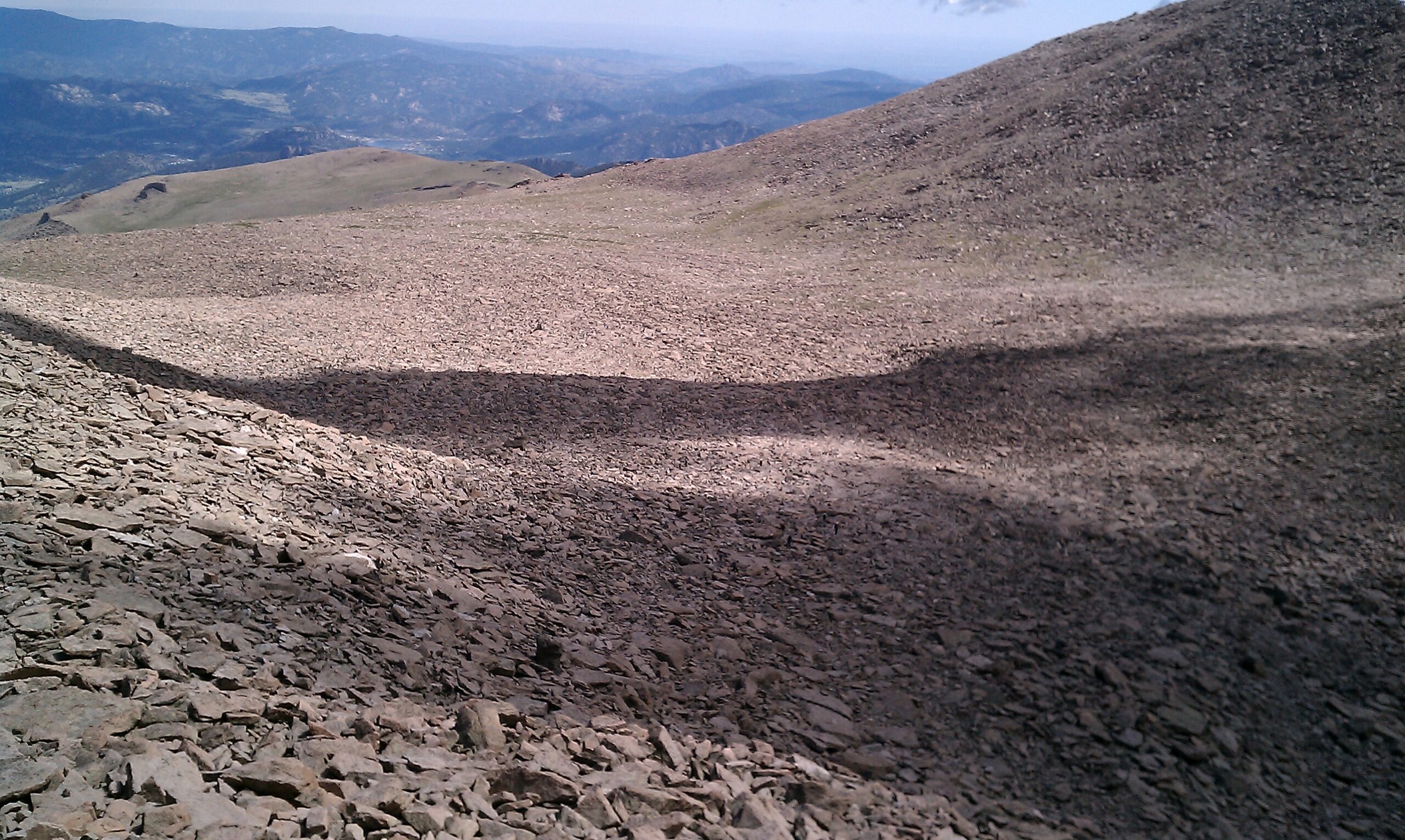
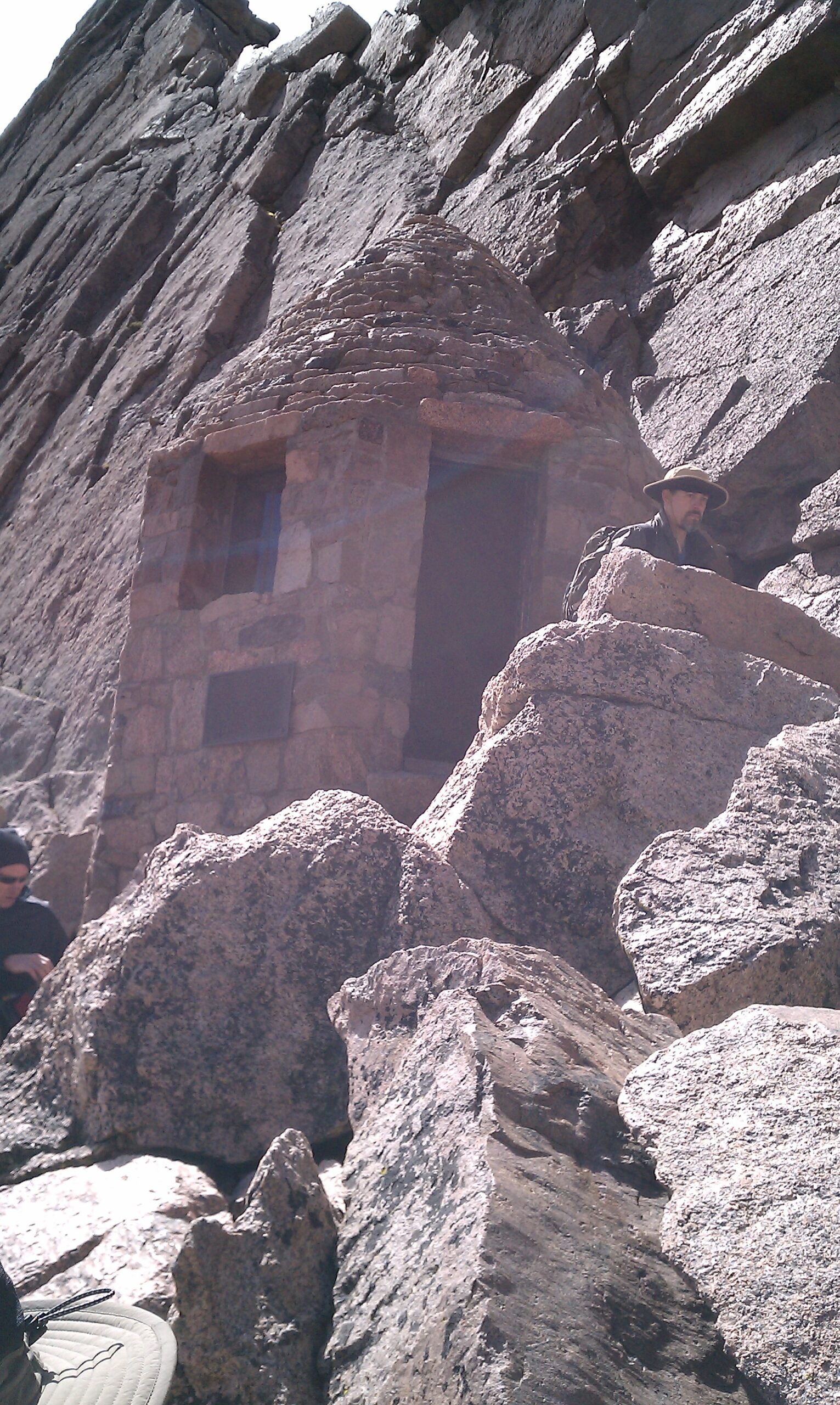
We reached the famous boulder field by 6:30 AM. The shattered landscape was only interrupted by the strange presence of an elevated open-air composting toilet and a few tent sites that had somehow managed to find a bit of flat ground. We picked our way through the uneven terrain and up to the Keyhole. Skies to the west were clear, trail was dry, onward to the difficult bit.
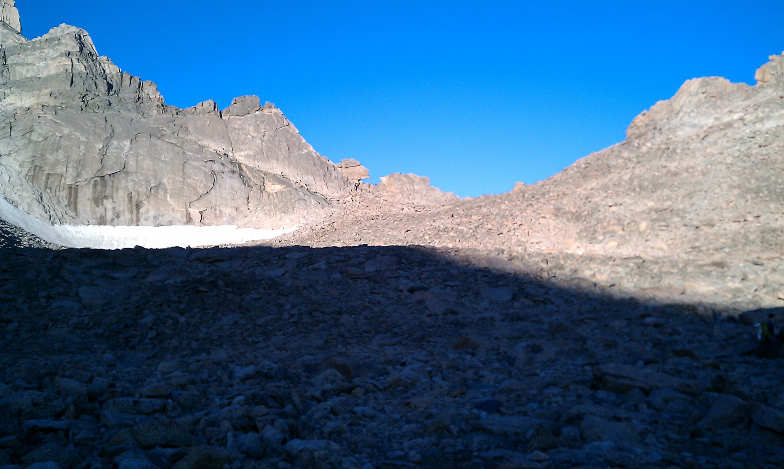
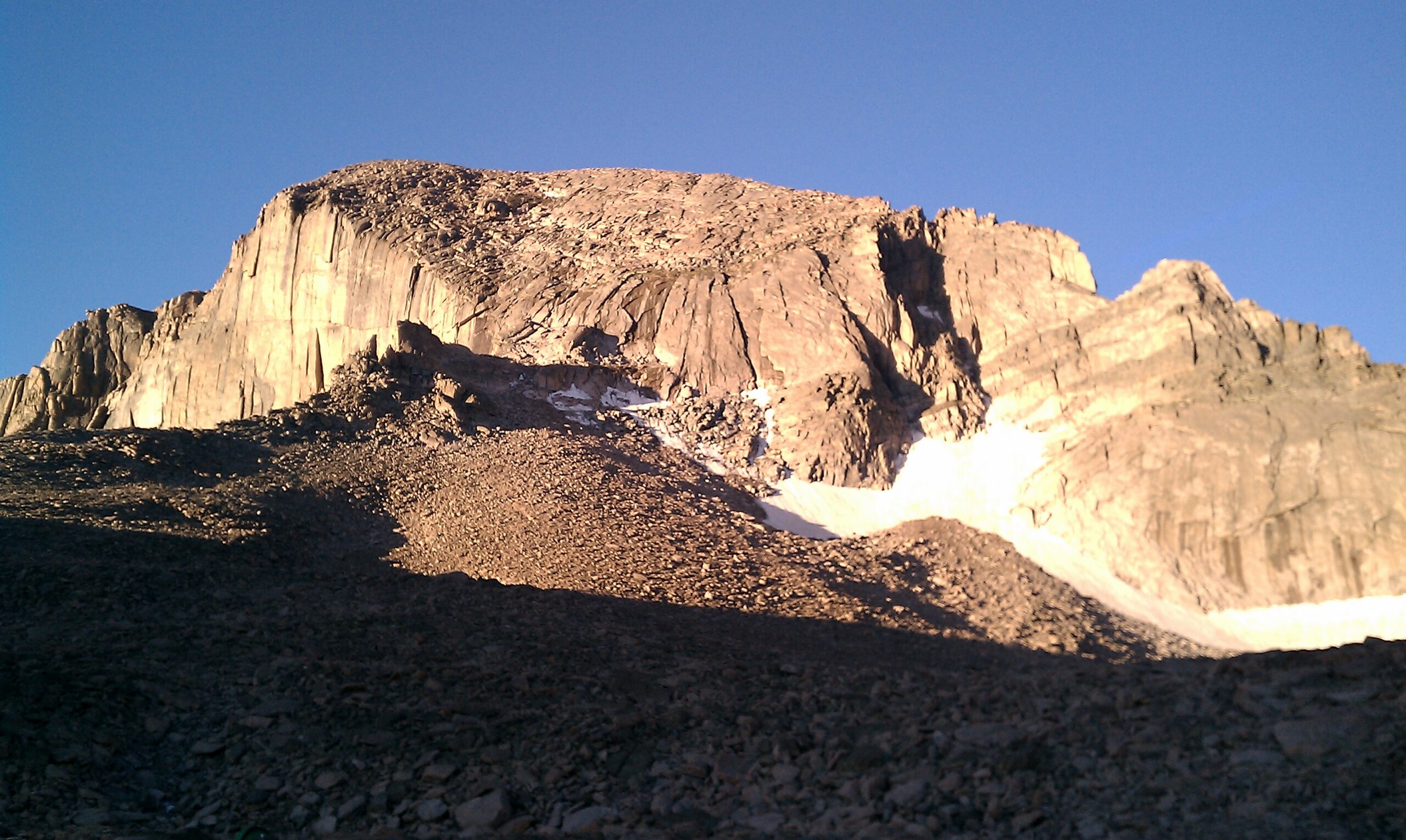
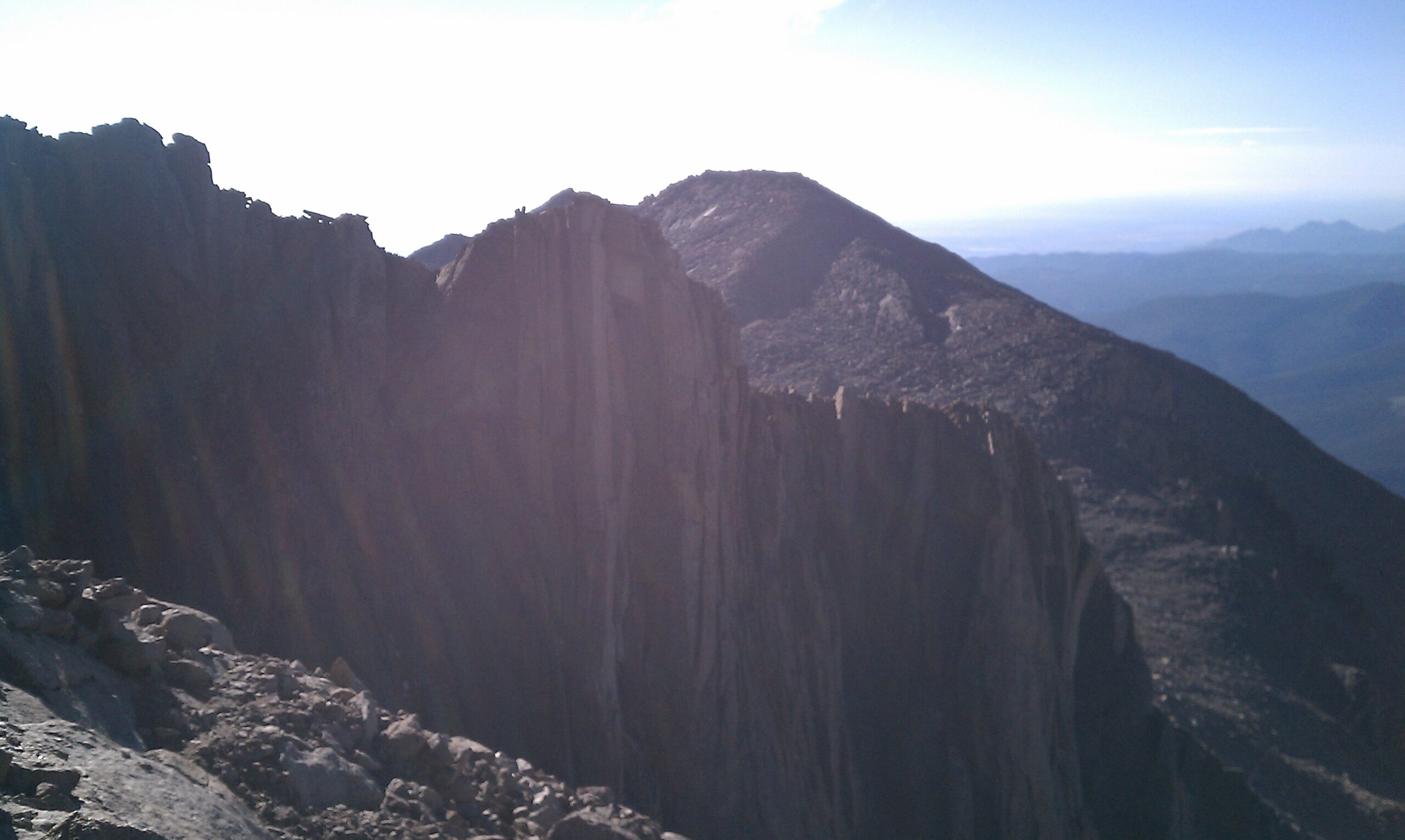
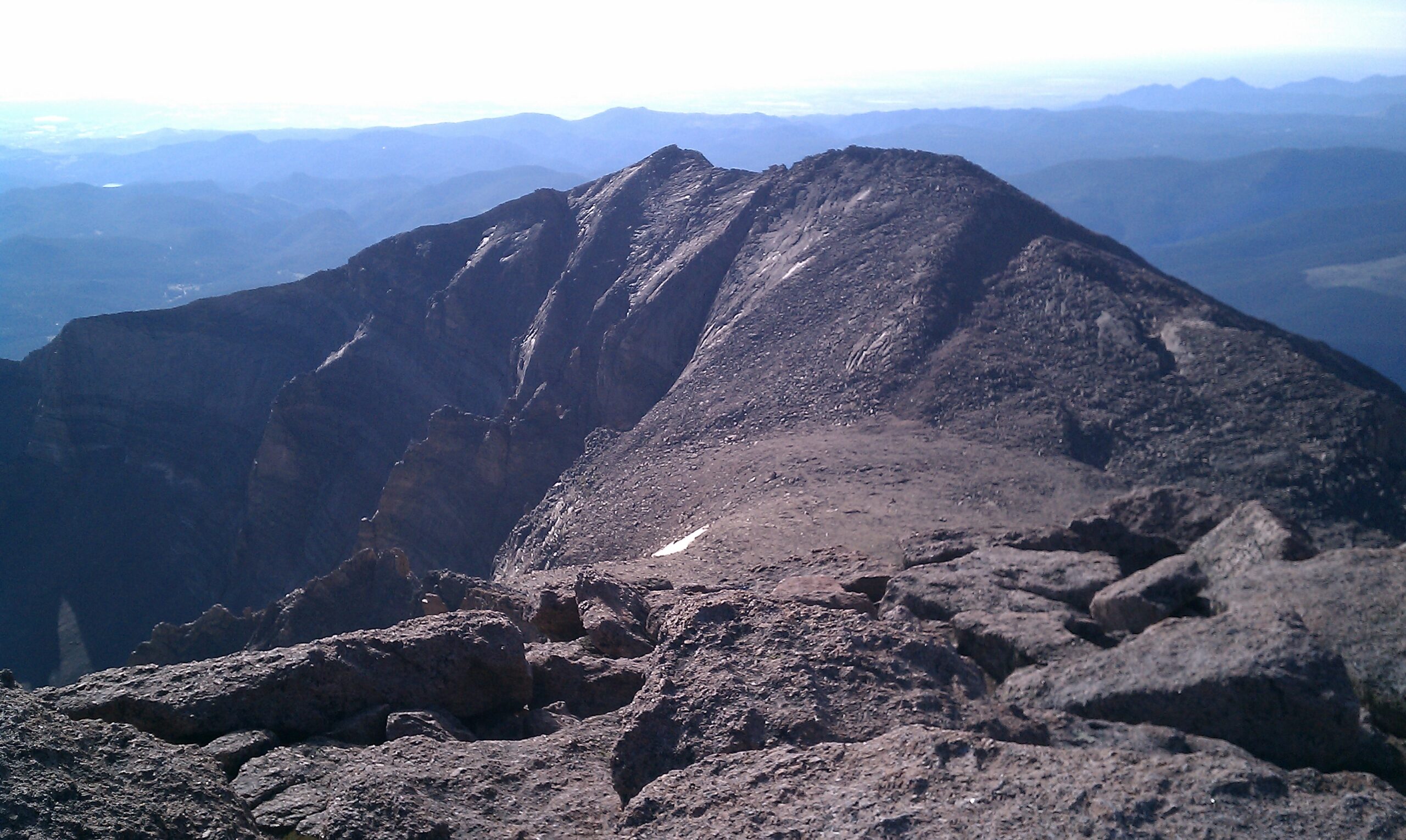
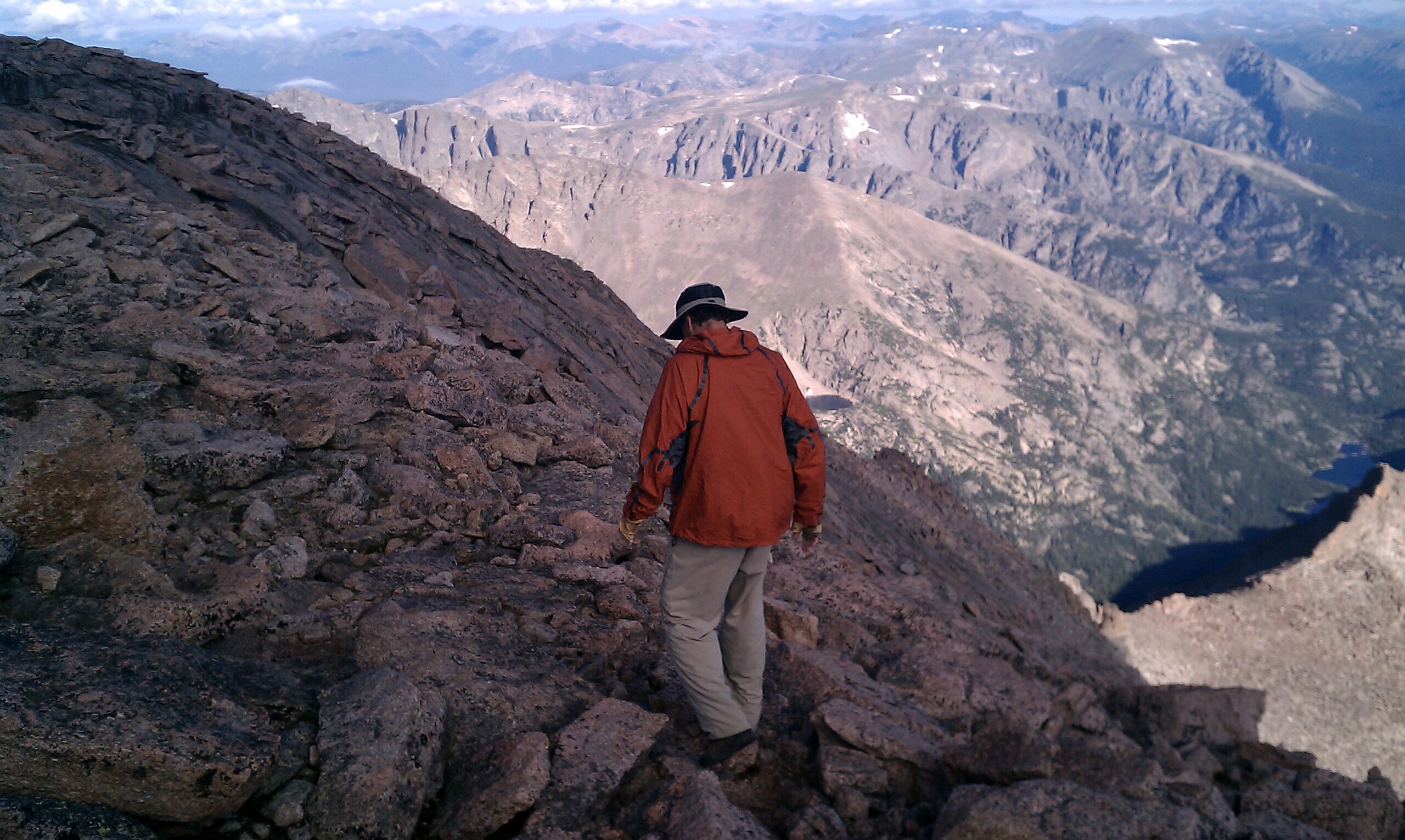
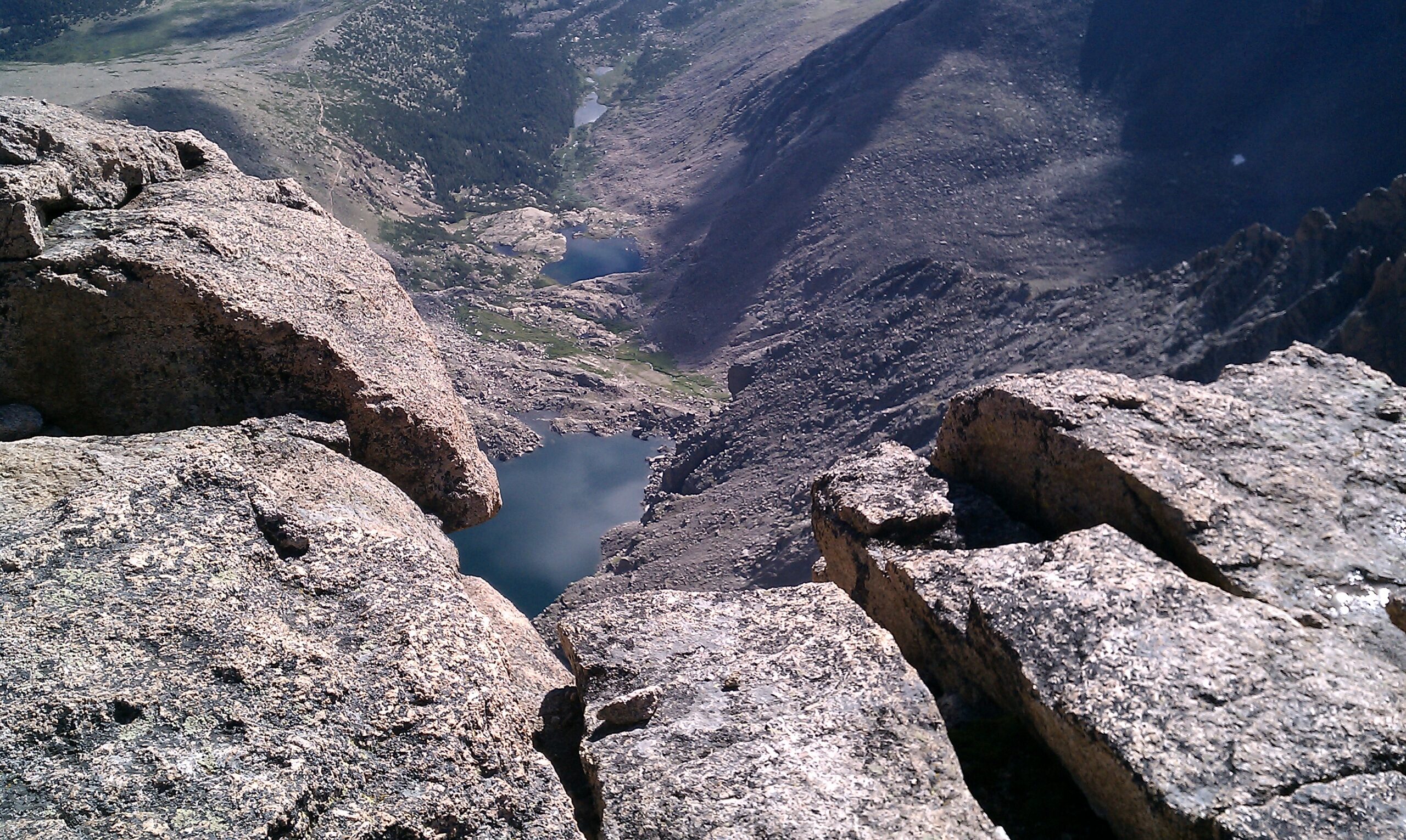
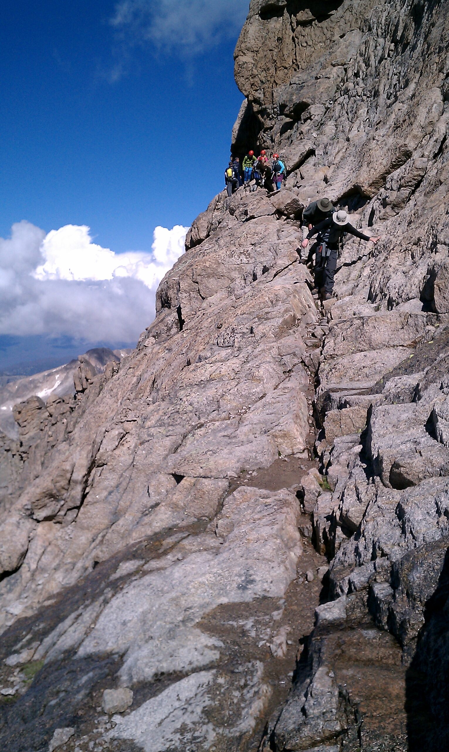
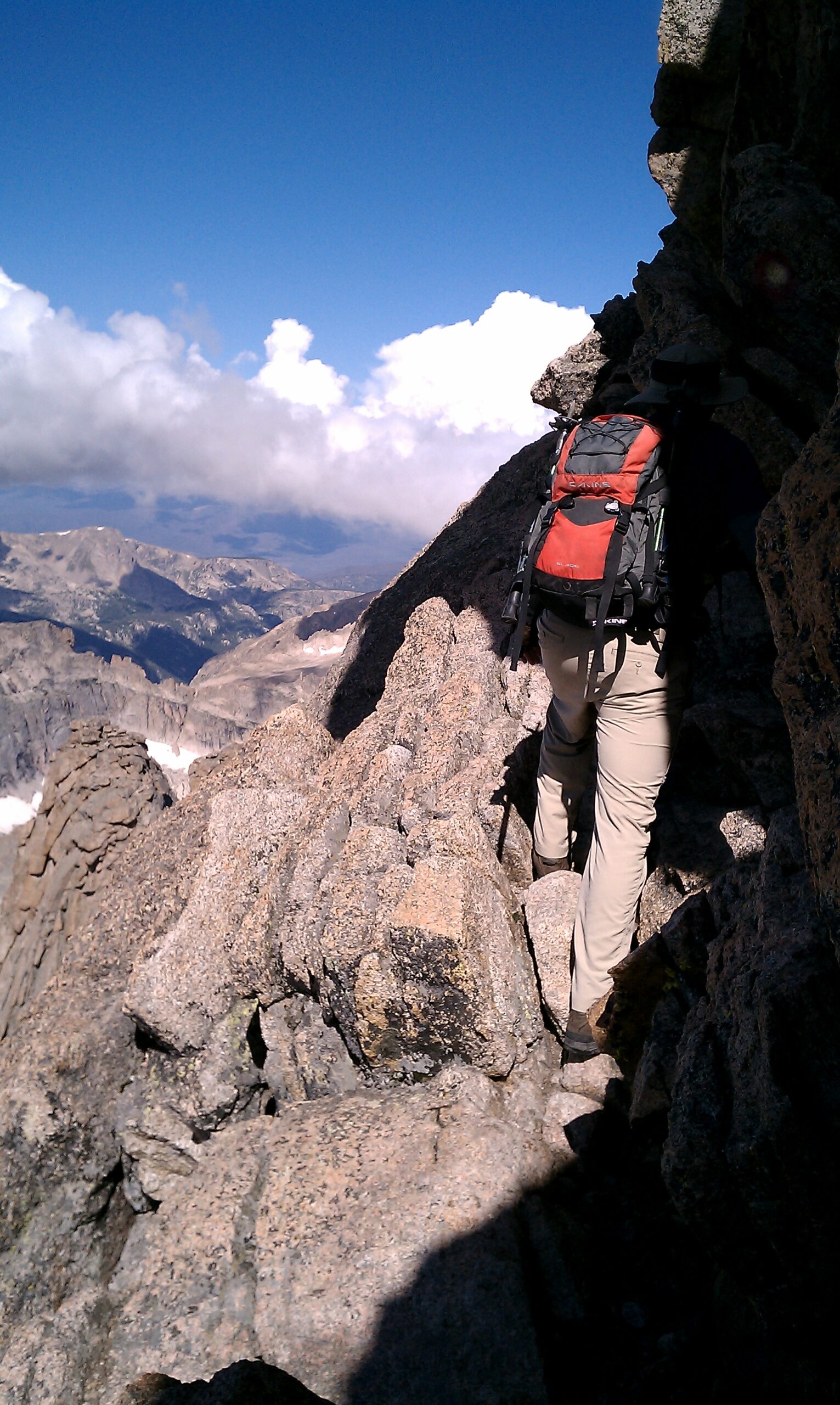
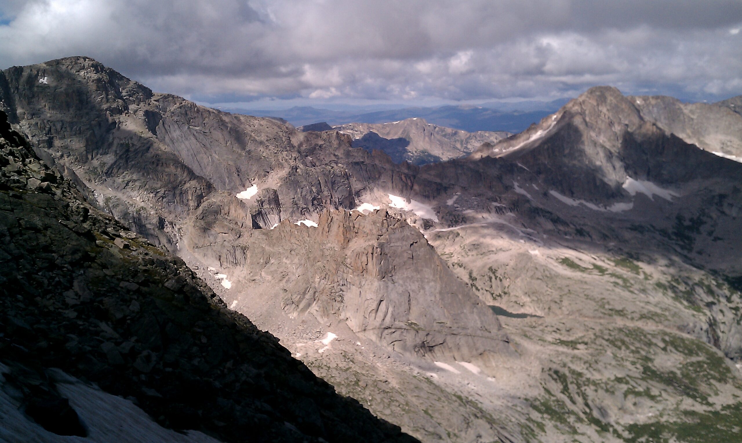
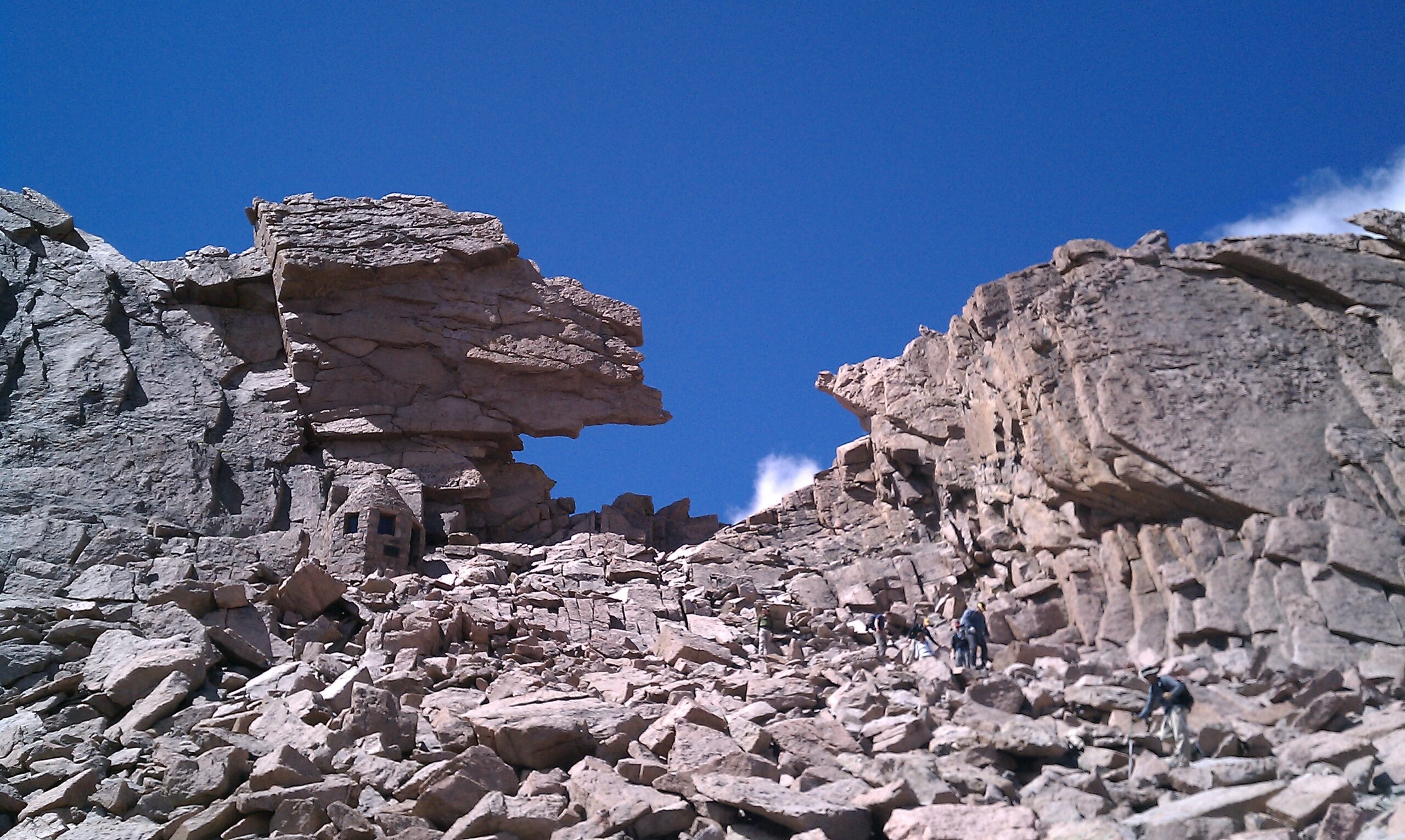
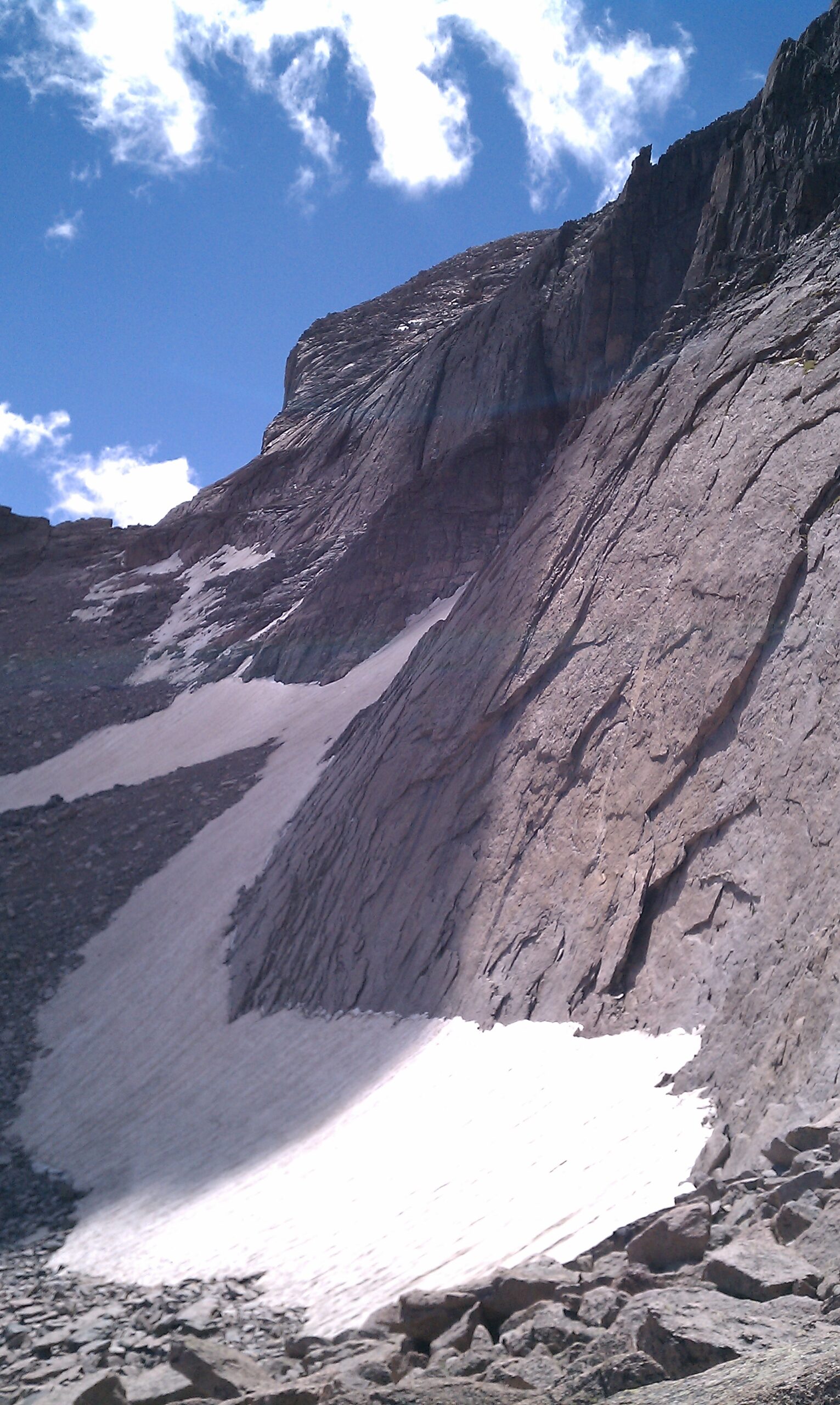
Going through the Keyhole is a little bit like going through the Looking Glass. The hike up to this point is steadily uphill, through tree, earth, and alpine meadow. Once on the west side of Longs Peak proper, however, there is nothing but granite for as far as the eye can see. The view is dominated by lifeless gray monolithic rock, broken only by the occasional snow-packed Coulier. And all of it plunges downward, forcing you to reckon with the consequence of a bad step.
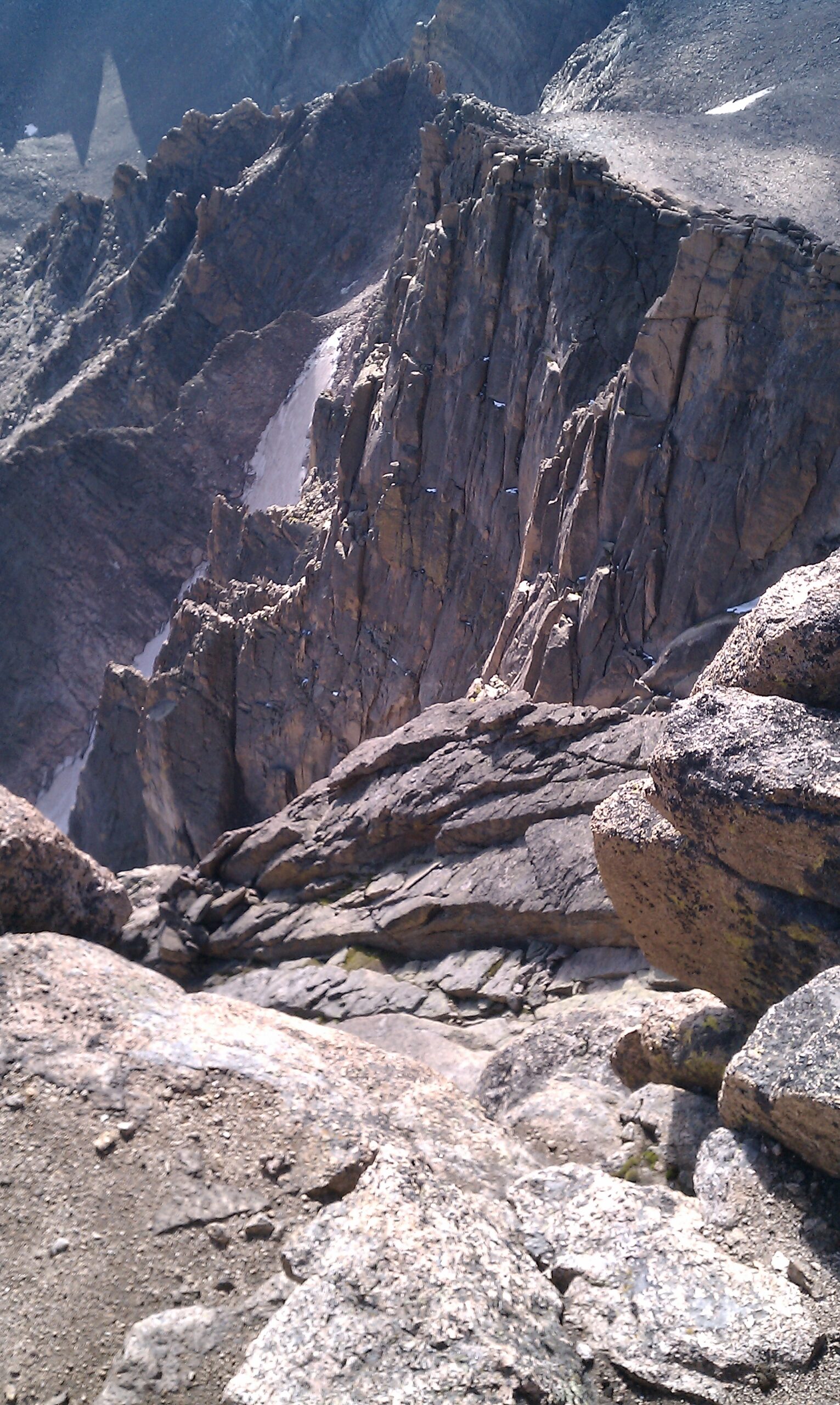
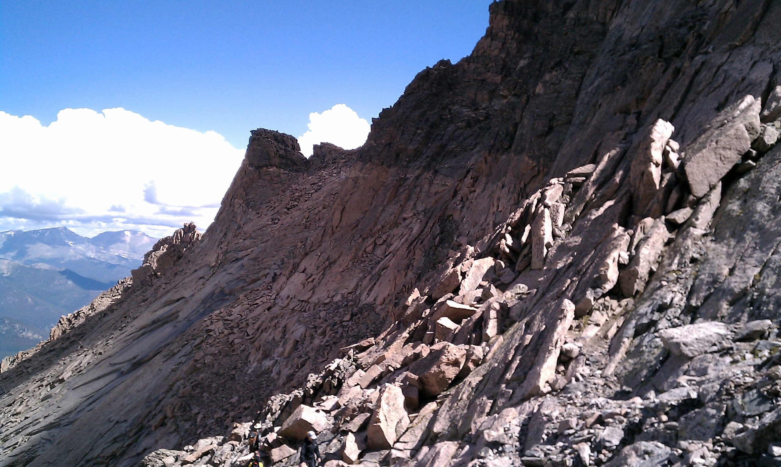
There is but three-quarters of a mile to the summit from the Keyhole, but another 1,500 vertical feet in that span make it a worthy task. The two of us navigated The Ledges section to the bottom of The Trough, a wicked test of scrambling endurance. There is one high Class 3 move required to overcome an obstacle near the top of The Trough.
Flashback
We exited the top of The Trough into The Narrows, a shorter, more exposed version of The Ledges. After a short downclimb, there was only one last obstacle to go: The Homestretch. Under dry conditions, The Homestretch didn’t present much of a danger, just one last lung-buster before we got a well-deserved break at the top.
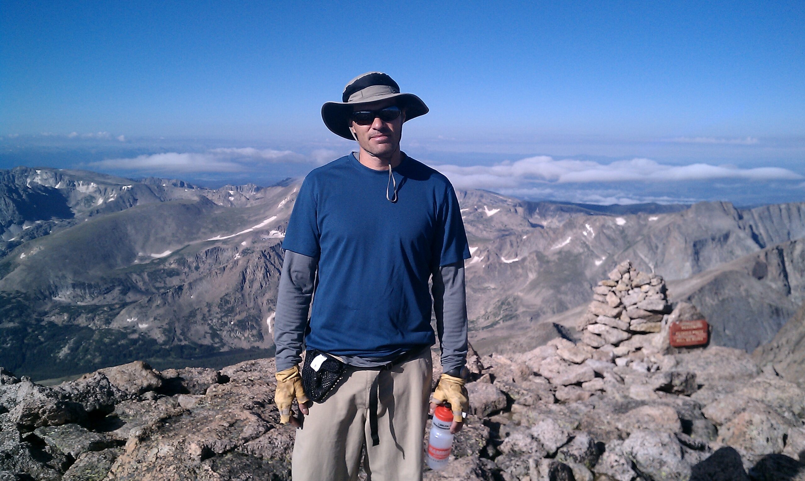
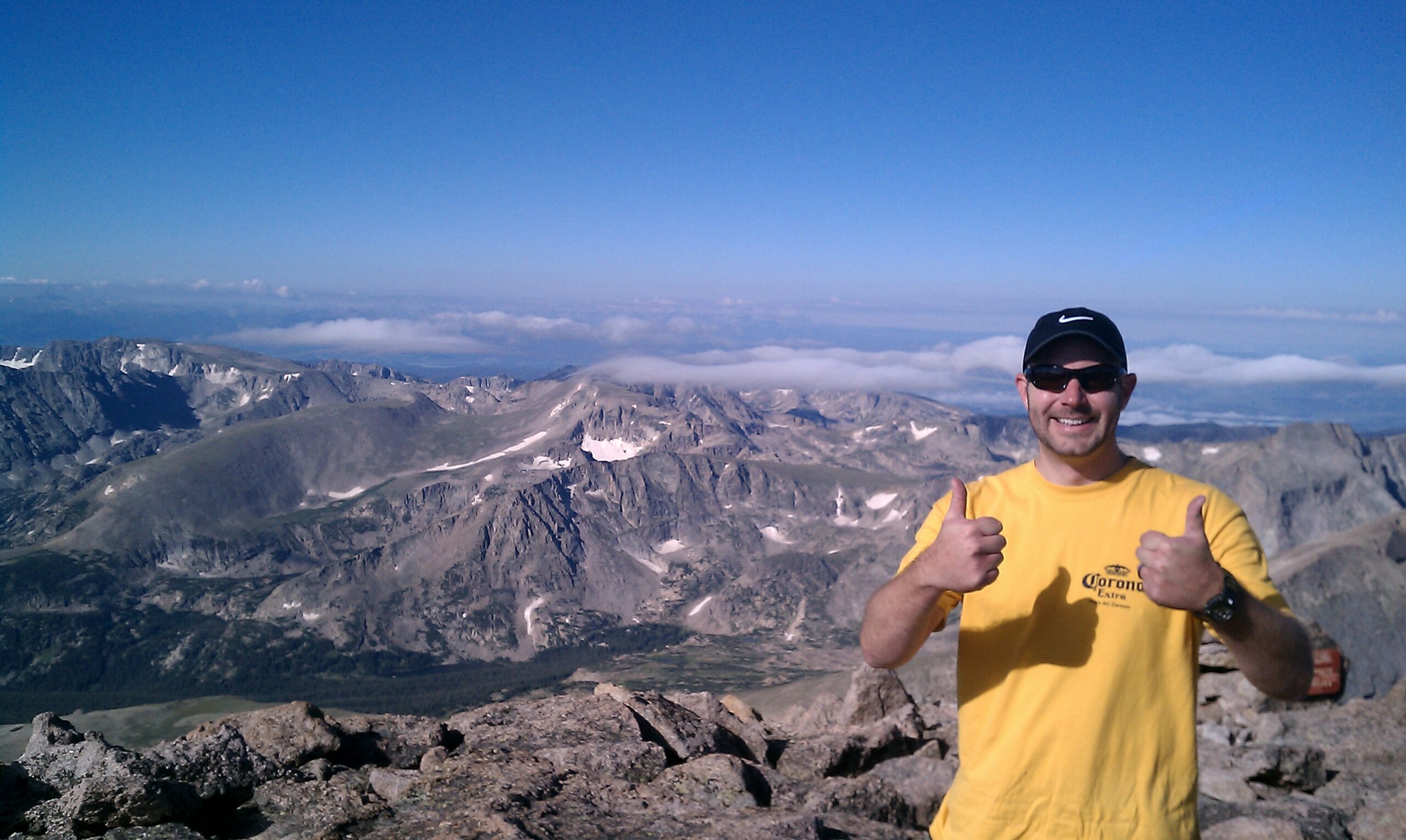
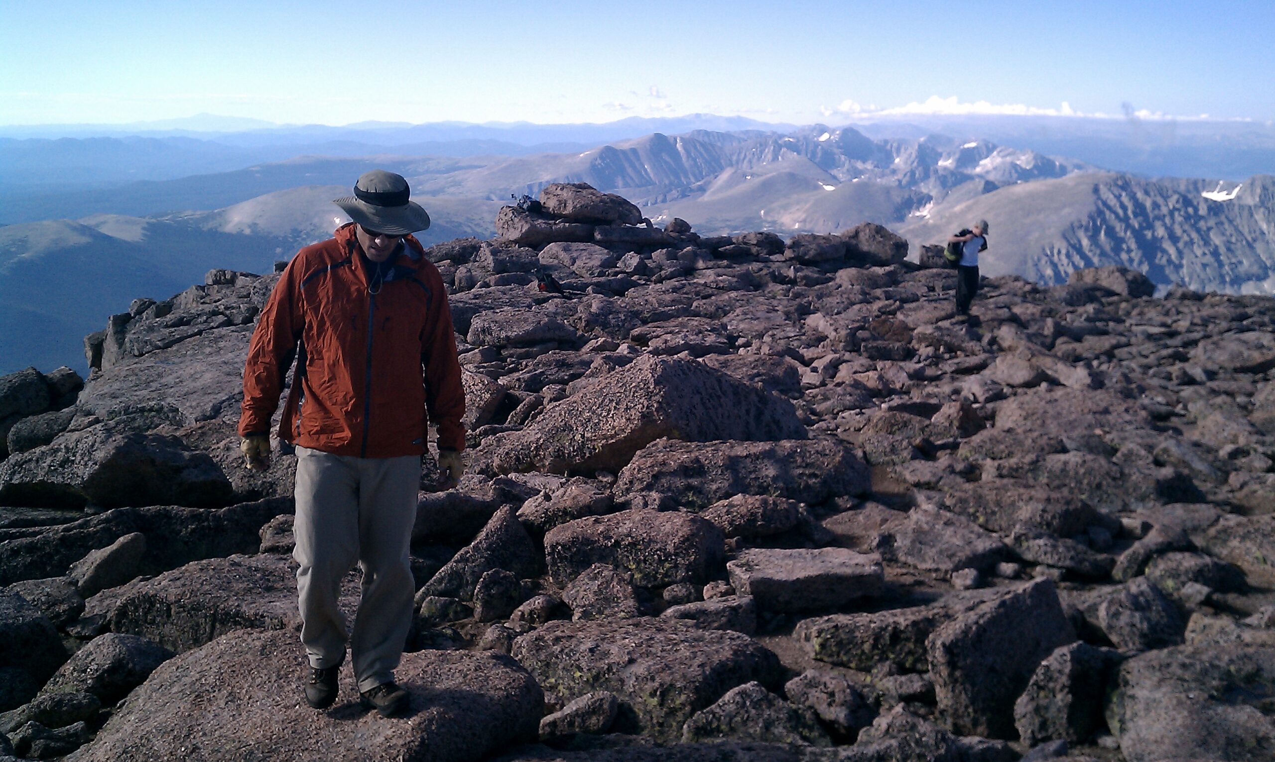
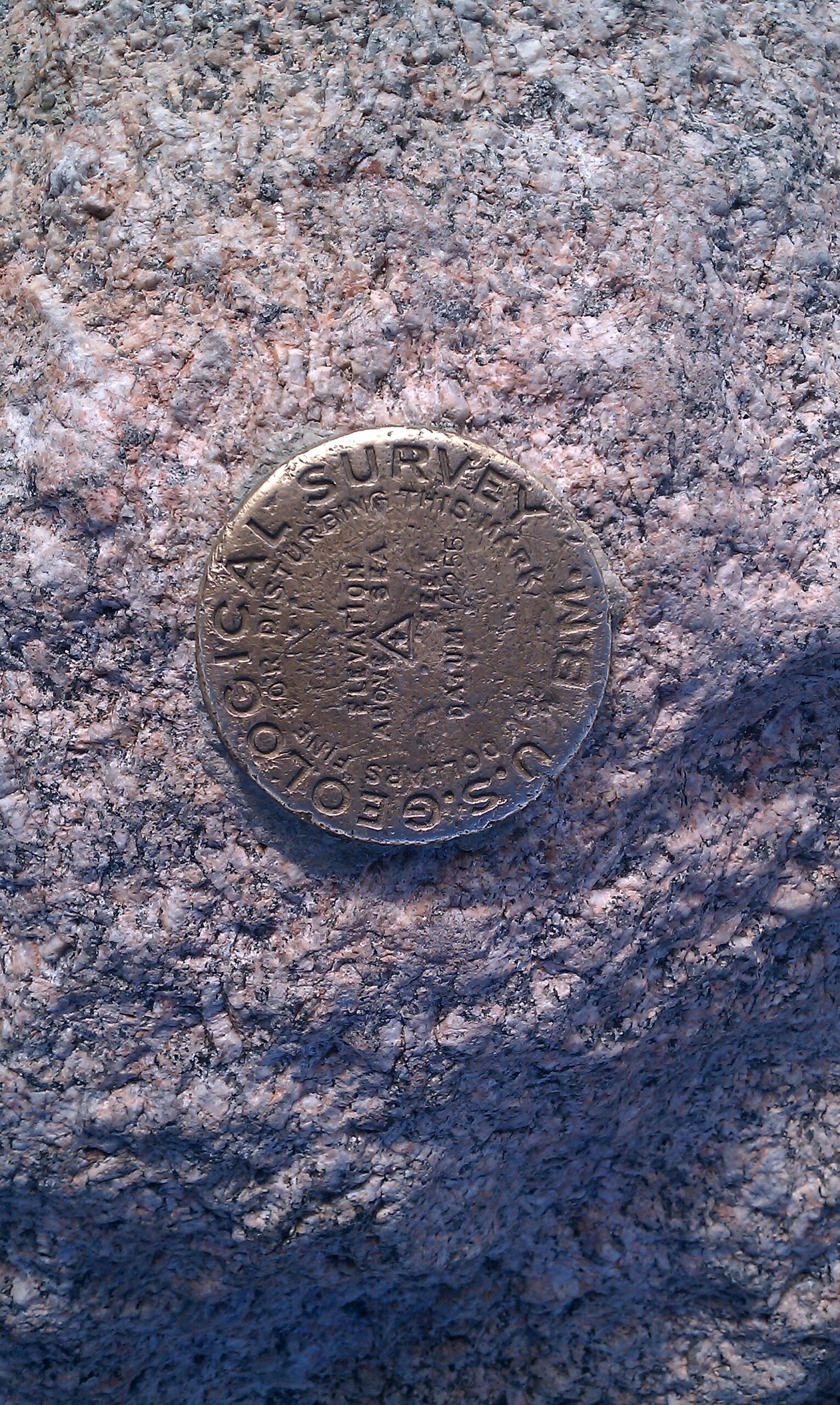
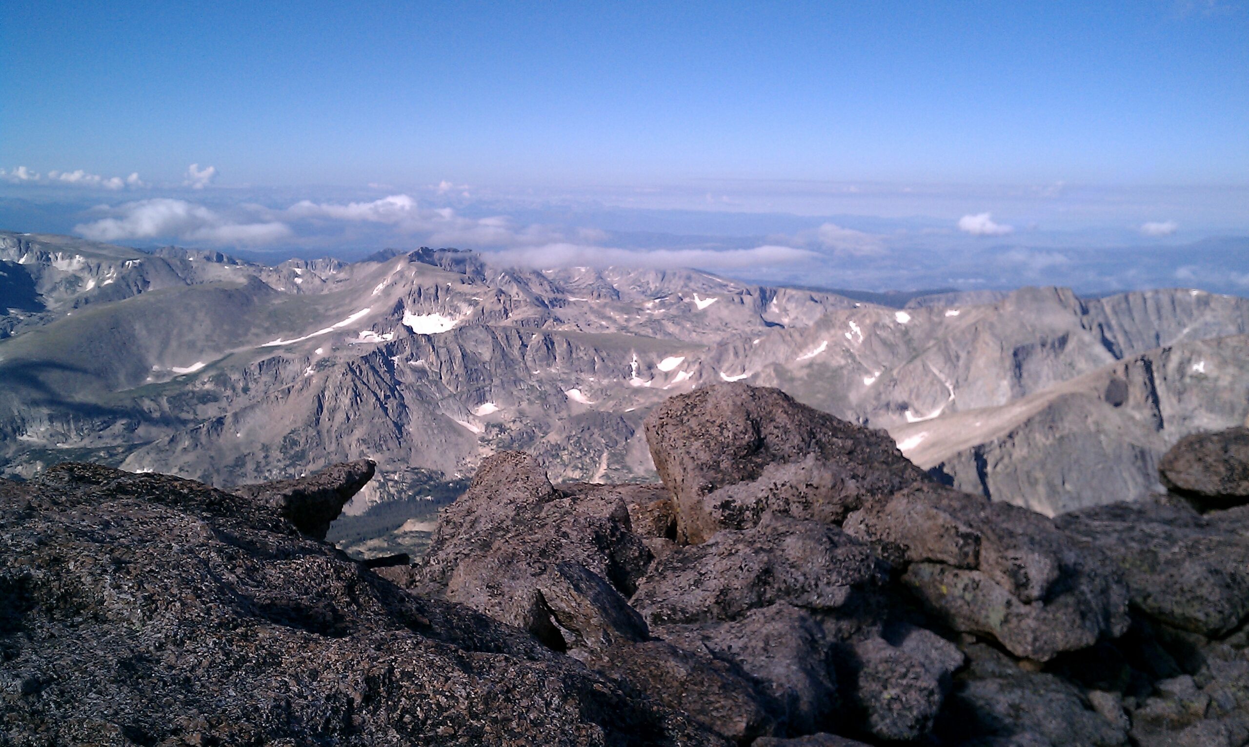
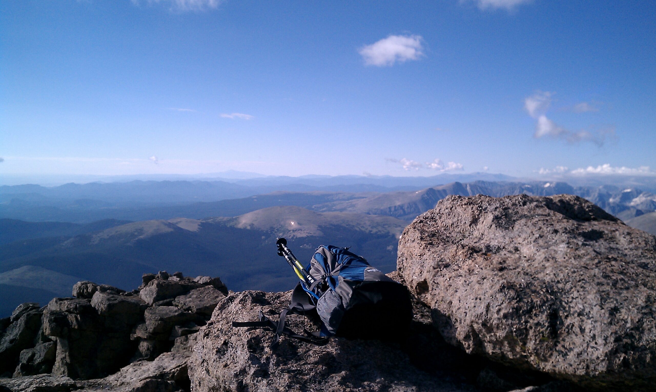
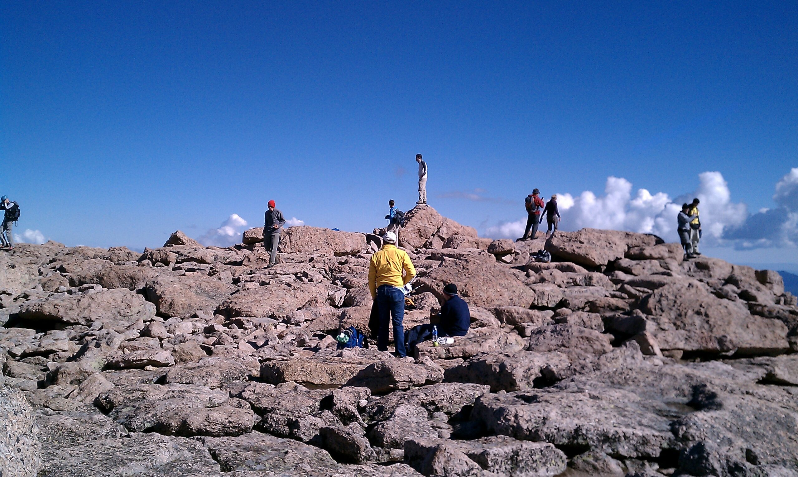
We reached the summit at 8:30 AM. The summit block of Longs Peak is enormous, stretching hundreds of yards from end to end and across. And the views. You can see more than 100 miles out into the eastern plains. To the north and west, the rugged beauty of Rocky Mountain National Park, and to the south, Indian Peaks Wilderness, Mount Evans, stretching all the way to Pikes Peak and Colorado Springs.

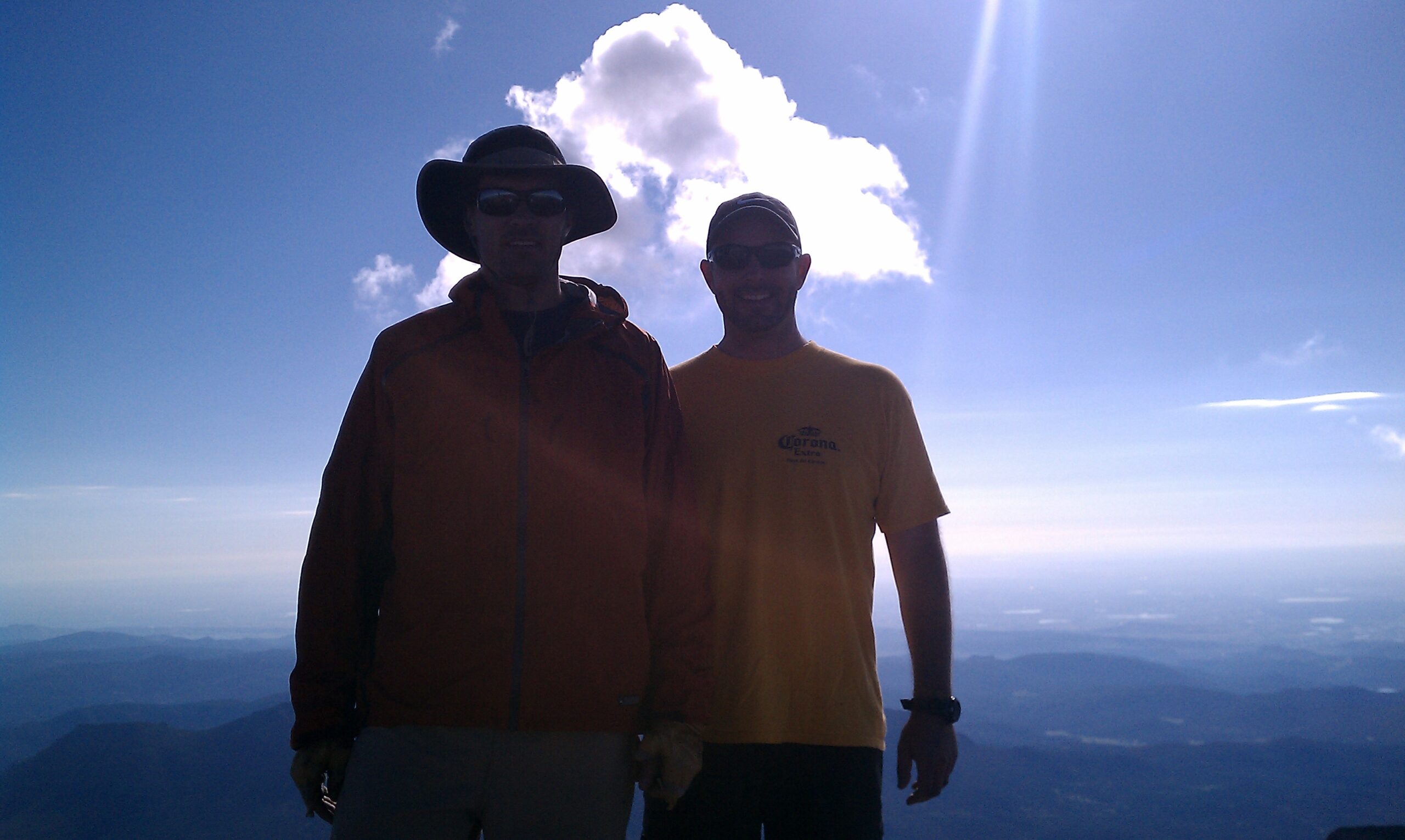
For Nate and me, the second time was the charm. But of course, reaching the summit of any peak is a job only halfway done. The downclimb was an ordeal in and of itself, and the last part of the hike below timberline seemed to last an eternity. I think this was one of the most exhausting days of hiking I ever experienced, and I’m not eager to attempt it ever again.